Kyoto travel information of temples, shrines, museums and more.
Green tours
Do you know that you can walk around the city of Kyoto through the mountains? The hiking routes are perfect for every generation to exercise and explore Kyoto. Let's get started on a green & healthy tour.
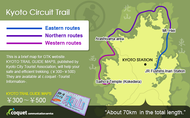
Do you know “Kyoto Circuit Trail” ?
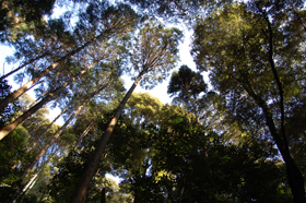
Kyoto city nestles in a basin surrounded by several mountains, which are not too high and not too steep.
While enjoying the mountain trails, you can easily visit some temples shrines. It's a perfect route to exercise and explore Kyoto.
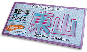
- The Eastern routes
-
-
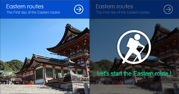
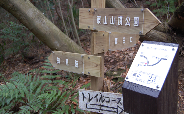
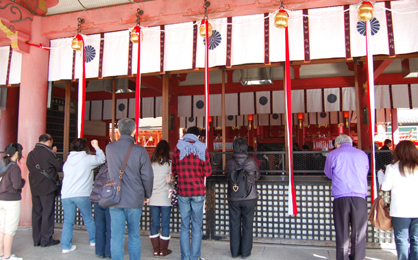
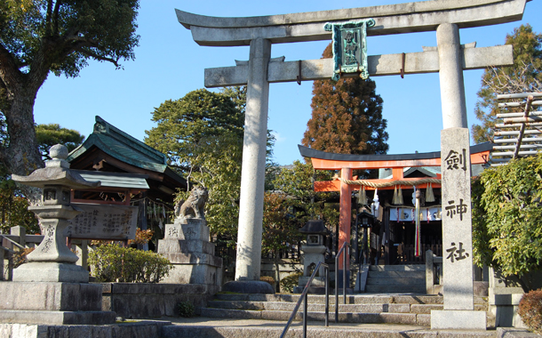
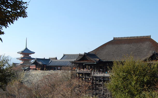
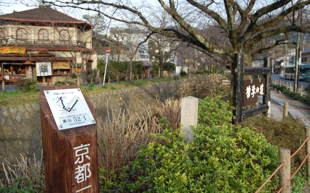
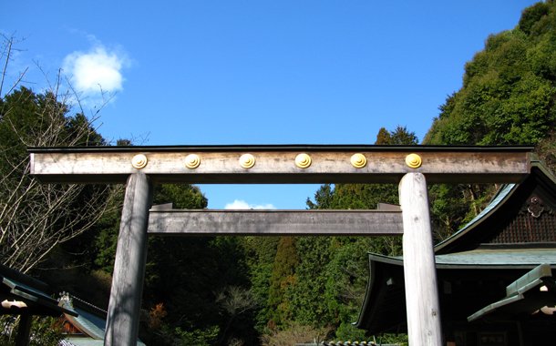
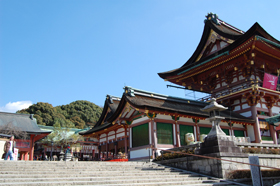
The Eastern route is about 15 km in length, starting at Fushimi-inari Taisha Shrine (3 stations south from JR Kyoto Station) and finishing at the foot of Mt. Hiei (on the Kyoto side of the border of Shiga Pref.). A lot of historical temples and shrines line this route, so the eastern route is the best one out of all the others for enjoying both hiking and visiting temples. GTK has divided this route into three parts. You can freely choose the starting point, and finish your trekking at any point depending on your schedule and condition. The numbered sign boards will lead you in the right direction. KYOTO TRAIL GUIDE MAPS will help your safe and efficient trekking. (¥300~¥500) They are available at c.coquet -communication service-.
 Let's start the Eastern routes!
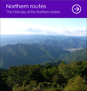
- The Northern routes
-
-
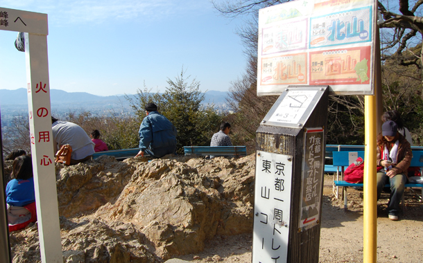
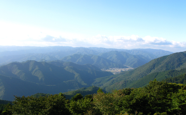
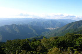
The northern route, which totals about 35 km, is the longest trail route of all the others and is therefore divided into two parts: "the East-northern route", which starts at the foot of Mt. Hiei and finishes in the peaceful area of Ohara, and "the West-northern route", which finishes in the Kiyotaki area. Compared to the Eastern route, this route is surrounded by thick forests of Kitayama cedar, and so you will feel closer to nature.
Let's start the Northern route!
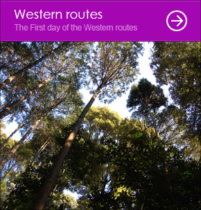
- The Western routes
-
-
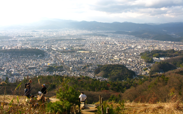
The Western route, as with the Eastern route, is nice for enjoying walking and stopping by some sightseeing spots. Both sights from nature and the town appear one after the other, so you may feel that this mountain route is truly in Kyoto city. You can enjoy visiting temples and shopping for souvenirs in Arashiyama, a popular area for all visitors, on the way to the finishing point in Kamikatsura. Enjoy the city hiking!
Let's start the Western route!
c.coquet, located to the south of the Imperial Park, provides travelers with useful information of hiking in Kyoto. KYOTO TRAIL GUIDE MAPS are available here. (\300~\500)
- 11:00 ~ 19:00
- Closed on Sunday
- 075-212-0882
- c.coquet -communication service-.

View c.coquet in a larger map

![]()
- Eastern routes
- Northern routes
- Western routes